
Flight search
Flights — Madagascar
Choose departure and destination in the full search.
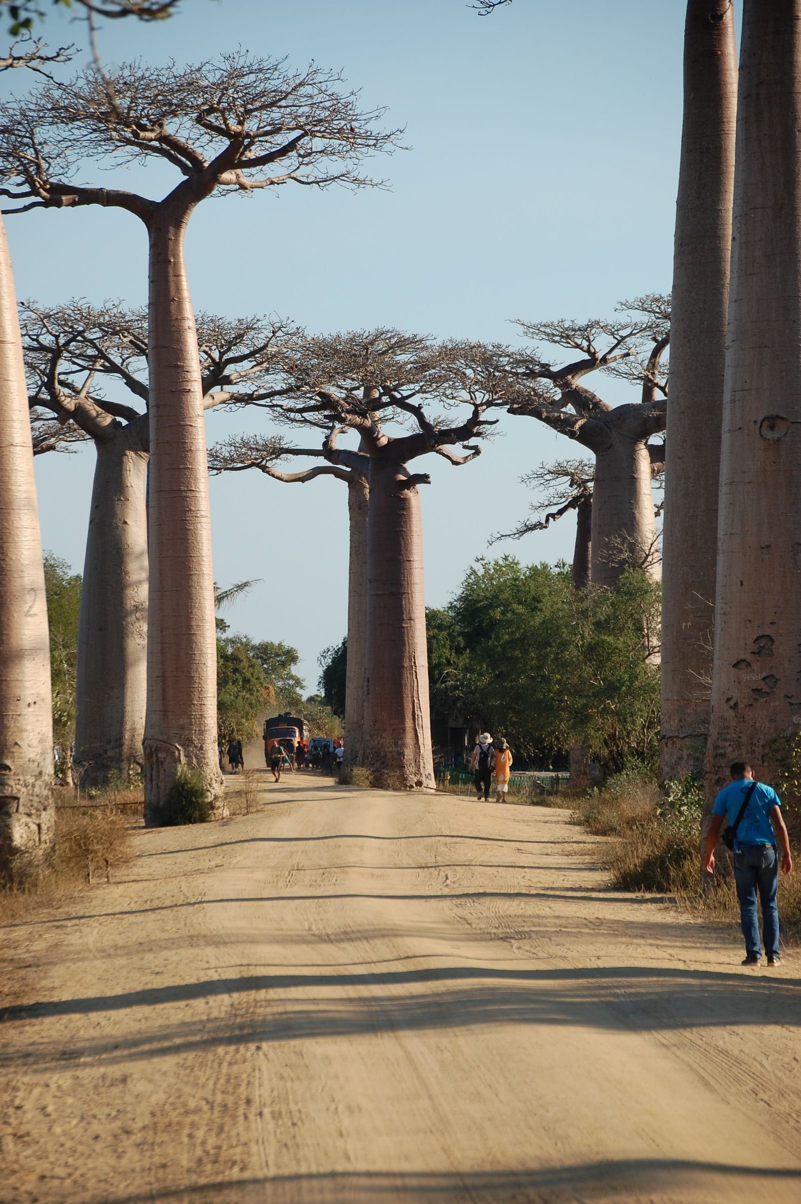
Nature · Madagascar
Madagascar is an evolutionary world of endemic forests, highland cultures, dry southern landscapes and coastal communities separated by demanding roads.
Travel by Ildy tip
On National Road 7, stop at Anja Community Reserve, 13 km south of Ambalavao: created in 2001 to protect the forest and give villagers an income, it has Madagascar's highest concentration of ring-tailed lemurs.
Plan your trip
Choose one date pair and use it for both searches.
One trip, one date pair
Choose dates for both the flight and stay search.
Compare currently available flight offers from our partners and find the option that suits you best.
Flight search
Choose departure and destination in the full search.
Stay search
Choose your travel dates to search available stays.
Prices and availability may change. The final price is confirmed on the booking partner's website.
Best time to visit
April to November is generally drier, but east-coast rain, cyclone risk and wildlife seasons vary by region.
Travel tips
Travel by Ildy recommends
Follow the rhythm of the place first, then shape the journey around the experiences that feel most like your own.
Location
Madagascar
Loading this map requires partner-content consent. Enabling it connects your browser to OpenStreetMap and also enables partner content used elsewhere on Travel by Ildy.
Map data: © OpenStreetMap contributors
Where to stay
Madagascar
Madagascar