
Flight search
Flights — Faroe Islands
Choose departure and destination in the full search.
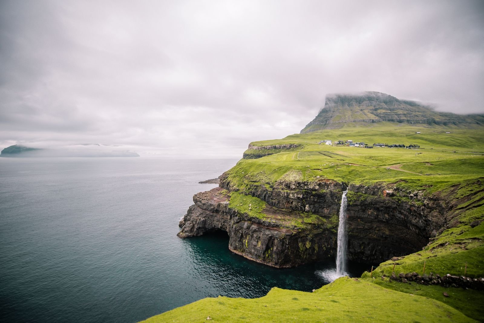
Nature · Faroe Islands
The Faroe Islands are a North Atlantic landscape of steep green villages, seabird cliffs and living sheep and fishing communities shaped by weather.
Travel by Ildy tip
At the north-east tip of Eysturoy, Gjógv takes its name from a 200-metre sea-filled gorge that has long served as the village's natural harbour; walk its rim for the view out to sea.
Plan your trip
Choose one date pair and use it for both searches.
One trip, one date pair
Choose dates for both the flight and stay search.
Compare currently available flight offers from our partners and find the option that suits you best.
Flight search
Choose departure and destination in the full search.
Stay search
Choose your travel dates to search available stays.
Prices and availability may change. The final price is confirmed on the booking partner's website.
Best time to visit
May to September offers longer days and broader access, but wind, fog and ferry changes remain possible at any time.
Travel tips
Travel by Ildy recommends
Follow the rhythm of the place first, then shape the journey around the experiences that feel most like your own.
Location
Faroe Islands
Loading this map requires partner-content consent. Enabling it connects your browser to OpenStreetMap and also enables partner content used elsewhere on Travel by Ildy.
Map data: © OpenStreetMap contributors
Where to stay
Faroe Islands
Faroe Islands